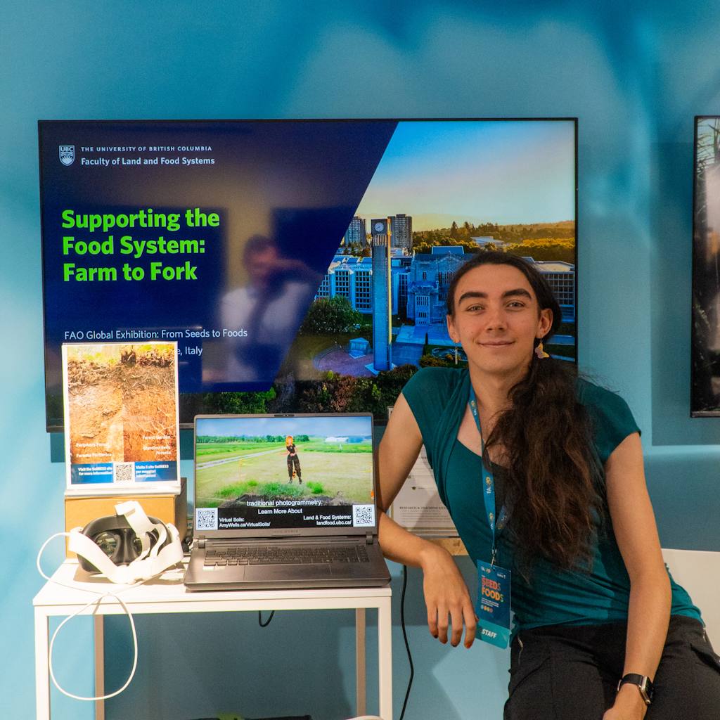
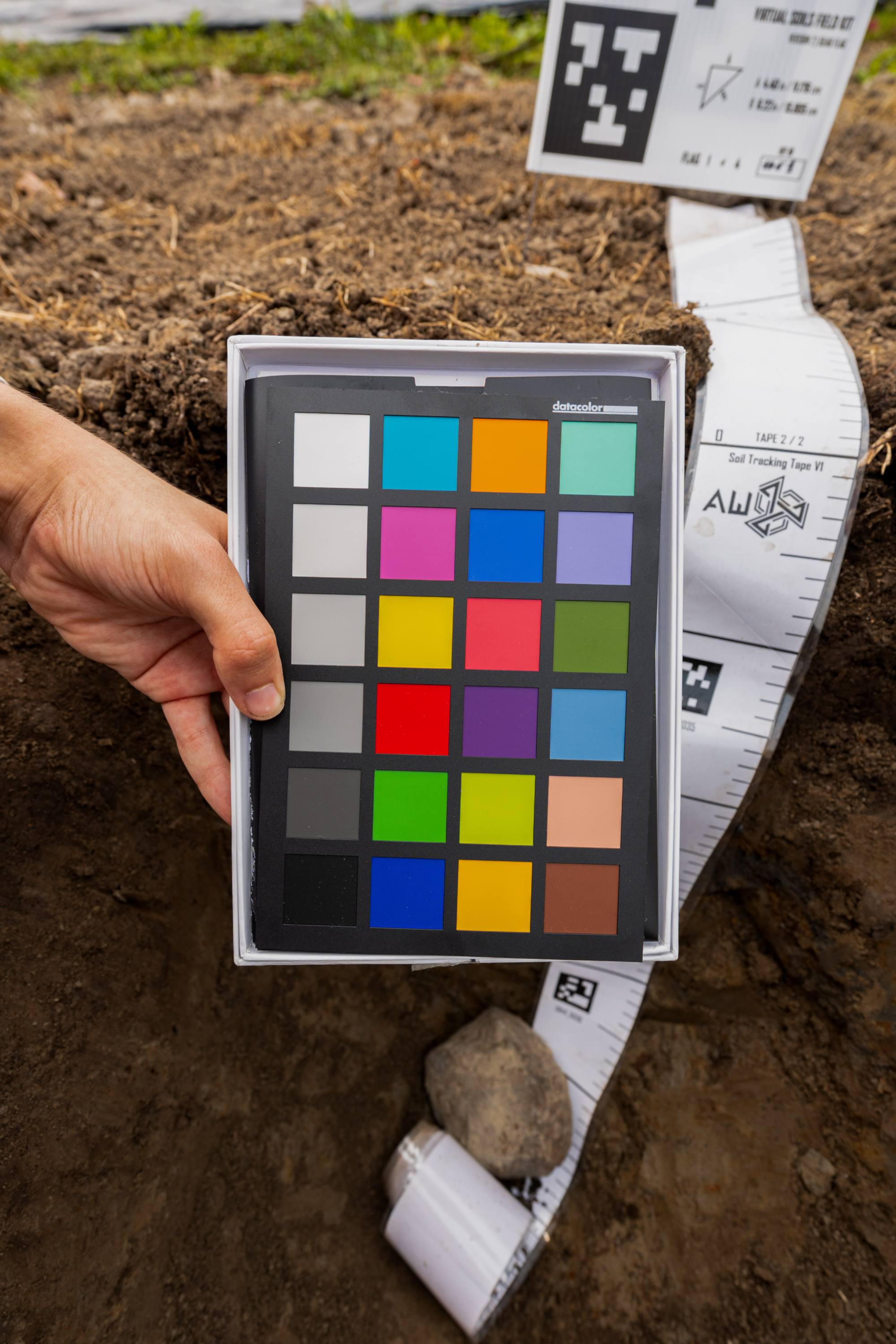
A Virtual Soil Model is a photorealistic reconstruction utilising 3D-Gaussian splats of a real-world soil within its natural environmental context. These soil pits are carefully opened and then photographed to allow for later reconstruction. The capture process can accurately reconstruct the structure, and colour of soils as well as the surrounding plants and landscapes.
The process to generate a Virtual Soil Model is under active research and development. An approximate outline of the process from field capture to final distribution is outlined below:
Once the reconstruction is completed, and a Virtual Soil model is completed it is then made available as an open-access soil education and science communication resource! The models are supported with detailed annotations as collected by scientists in the field to guide learning and engagement!
Soils are all around us. Whether we're in the city, or in the countryside there is soil somewhere near to us. In planters or parks, fields or forests. When teaching, or learning about soil finding it isn't the problem, the problem is accessing the diversity. As soil formation is impacted by the five soil formation factors Climate, Organisms, Relief, Parent Material, and Time (ClORPT), and these factors vary on the scale of landscapes.
The variation in soils across landscapes has led to the development of a variety of tools for soil science education, and science communication. Widely used tools include photos and videos of and about soils (Soil Horizons on Soil Web), soil monoliths both physical and digital (UBC Virtual Soil Monolith Collection, University of Alberta Soil Science Collection), and field courses.
The addition of Virtual Soils models to the field of soil science will allow for students in Canada and internationally to explore a great diversity of soils that would otherwise be inaccessible. The accessible web experience on virtualsoils.ca/ enables anyone on their phone or computer to explore the complete collection of soils, and to learn more about this critical resource.
Radiance fields describe a wide range of photogrammetric reconstruction techniques including Neural Radiance Fields (NeRFs), and 3D-Gaussian splatting (3DGS), that aim to accurately recreate digital versions of real-world objects and environments. Radiance fields use a volumetric approach to reconstruction where millions of discontinuous points are distributed throughout a 3D volume and then an iterative process compares the points to real-world photos or video frames to add, remove, or modify the shape, colour, and distribution of points till they accurately represent the original subject.
Radiance fields differ from the continuous geometric reconstructions that power other tools like the Virtual Soils Monolith Collection (monoliths.soilweb.ca/). Radiance Fields allow for small features (e.g. leaves and roots) to exist in the same model as large features (e.g. trees and mountains) as well as accurate reconstructions of view dependent properties such as the moving reflection of the sun on still water.
The approach to radiance fields that Virtual Soils uses are 3DGS. This was chosen for the wide support provided by free and open-source tools like Lichtfeld Studio (lichtfeld.io/) for model generation and SuperSplat (superspl.at/) for model editing that allowed for simple production of high-quality models that can be viewed in real-time on a wide range of devices from mobile phones to high end desktop PCs.
Below is the recommended citation for the Virtual Soils Project. All contributors to Virtual Soils can be found at: virtualsoils.ca/contributors/
@webpage{WellsVirtualSoils,
author = {Wells, Amy and Krzic, Maja and Cornelis, Jean-Thomas},
title = {{The Virtual Soils Project}},
year = {2026},
url = {https://virtualsoils.ca/}
}